Landscape Design & 3D Terrain Mapping
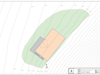
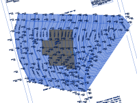
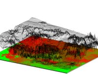
Discover precise and innovative landscape design and terrain mapping in Norway with Ringstadhavna Bygg Design AS. We specialize in 3D terrain modeling and digital elevation mapping, transforming landscapes with accuracy and creativity.
Why Choose Our Landscape Services?
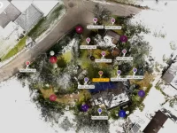
- Advanced 3D Measurements – We collect detailed terrain data using state-of-the-art 3D scanning technology.
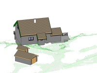
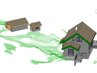
- Digital Terrain Models (DTM) – Our digital models offer a clear and accurate representation of your landscape.
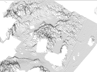
- Digital Elevation Models (DEM) – Visualize elevation changes and topography with precision.
- Optimized Design Planning – Ensure your construction or landscaping project aligns perfectly with natural terrain.
Cutting-Edge 3D Scanning Technology
Enhance your project’s accuracy with our 3D Scanning services. By capturing high-resolution terrain data, we provide the foundation for flawless design and execution.
Seamless Integration & Visualization
Our technical draftsmen in Norway create detailed digital models, ensuring your landscape project is meticulously planned and visually represented.
Explore Our Projects
See how Ringstadhavna Bygg Design AS transforms environments on our Projects page. From landscape modeling to architectural design, we bring innovative visions to life.
